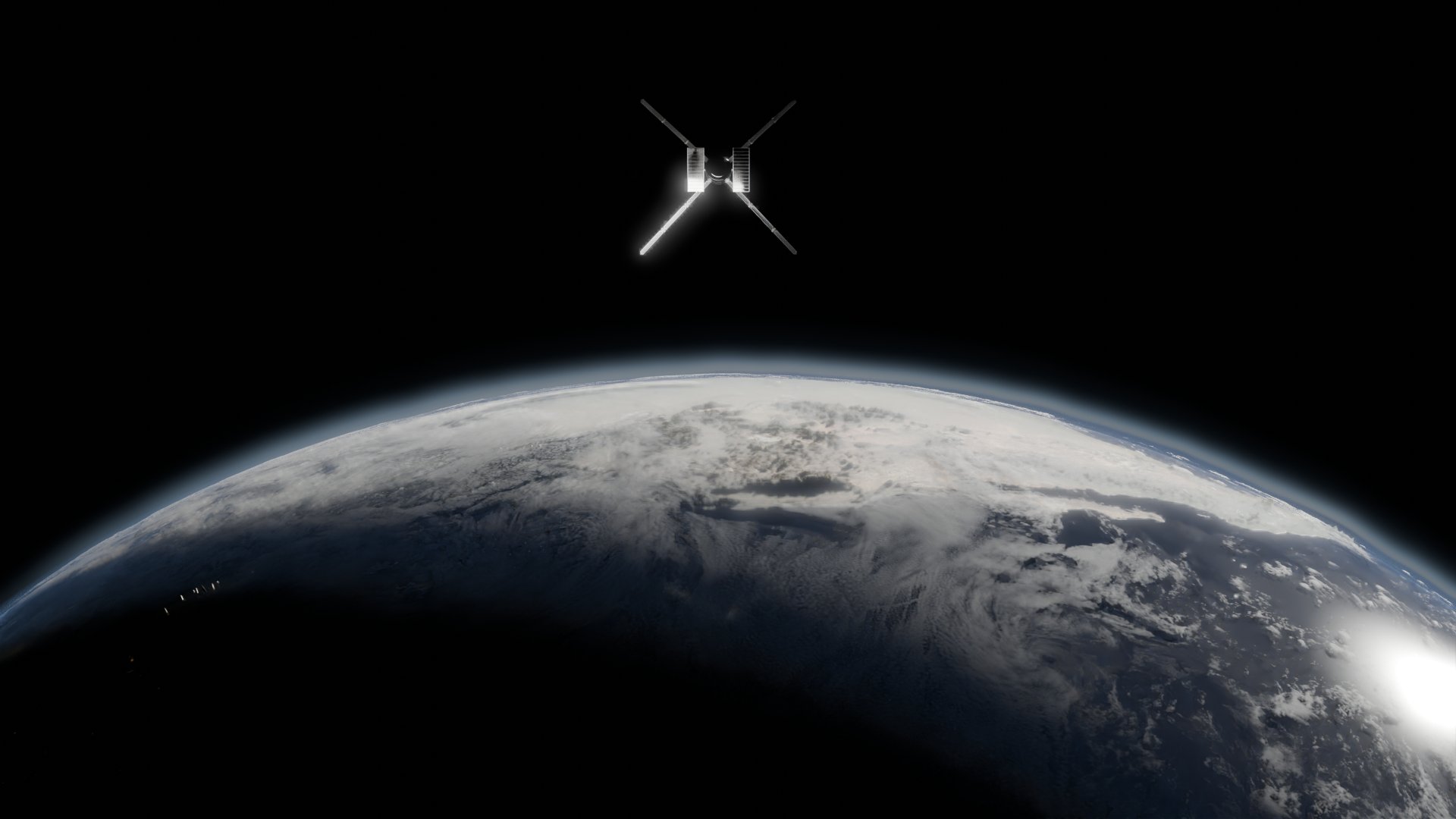
Satellite imaging,
on demand.
Refract transforms orbital imagery into real-world intelligence.
Our on-demand satellite platform empowers organizations to monitor assets, markets, and infrastructure with speed and clarity.
Who we serve
Refract provides real-time satellite intelligence to the industries that run the world.
Refract provides real-time satellite intelligence to the industries that run the world.
We provide the orbital intelligence infrastructure that enables real-time decision-making across mission-critical sectors.
Capital Markets
Capital Markets
Capital Markets
Agriculture & AgTech
Agriculture & AgTech
Agriculture & AgTech
Logistics & Maritime
Logistics & Maritime
Logistics & Maritime
Energy & Utilities
Energy & Utilities
Energy & Utilities
Insurance & Risk
Insurance & Risk
Insurance & Risk
Real Estate & Infrastructure
Real Estate & Infrastructure
Real Estate & Infrastructure
Governments & NGOs
Governments & NGOs
Governments & NGOs
Mining & Natural Resources
Mining & Natural Resources
Mining & Natural Resources
Defense & Intelligence
Defense & Intelligence
Defense & Intelligence
Climate & Sustainability
Climate & Sustainability
Climate & Sustainability
Disaster & Risk Response
Disaster & Risk Response
Disaster & Risk Response
Geospatial & AI Platforms
Geospatial & AI Platforms
Geospatial & AI Platforms
Our products
On-Demand Satellite Imaging. Intelligence-Ready.
On-Demand Satellite Imaging. Intelligence-Ready.
Every sensor. Every orbit. Every insight, simplified.

Optical Imagery
High-resolution visual imagery for infrastructure, construction, and environmental monitoring.
Optical Imagery
High-resolution visual imagery for infrastructure, construction, and environmental monitoring.
Optical Imagery
High-resolution visual imagery for infrastructure, construction, and environmental monitoring.

SAR (Radar) Imagery
All-weather, night-capable imaging for vessel tracking, border surveillance, and change detection.
SAR (Radar) Imagery
All-weather, night-capable imaging for vessel tracking, border surveillance, and change detection.
SAR (Radar) Imagery
All-weather, night-capable imaging for vessel tracking, border surveillance, and change detection.

Thermal & Multispectral
Detect surface heat, vegetation stress, or environmental shifts with spectral-depth data.
Thermal & Multispectral
Detect surface heat, vegetation stress, or environmental shifts with spectral-depth data.
Thermal & Multispectral
Detect surface heat, vegetation stress, or environmental shifts with spectral-depth data.
Why choose us
Precision, Speed, and Insight in Every Task
Precision, Speed, and Insight in Every Task

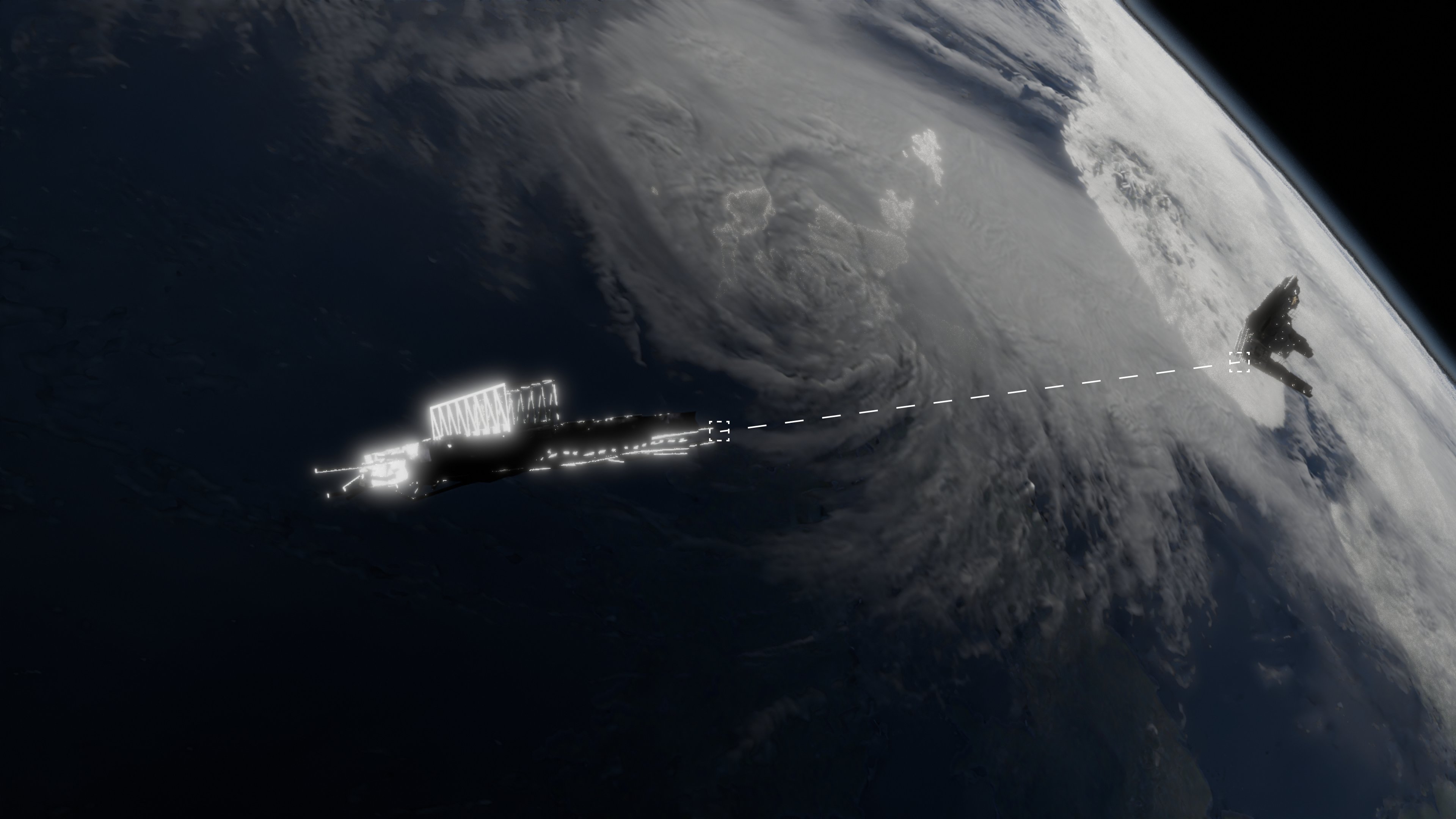
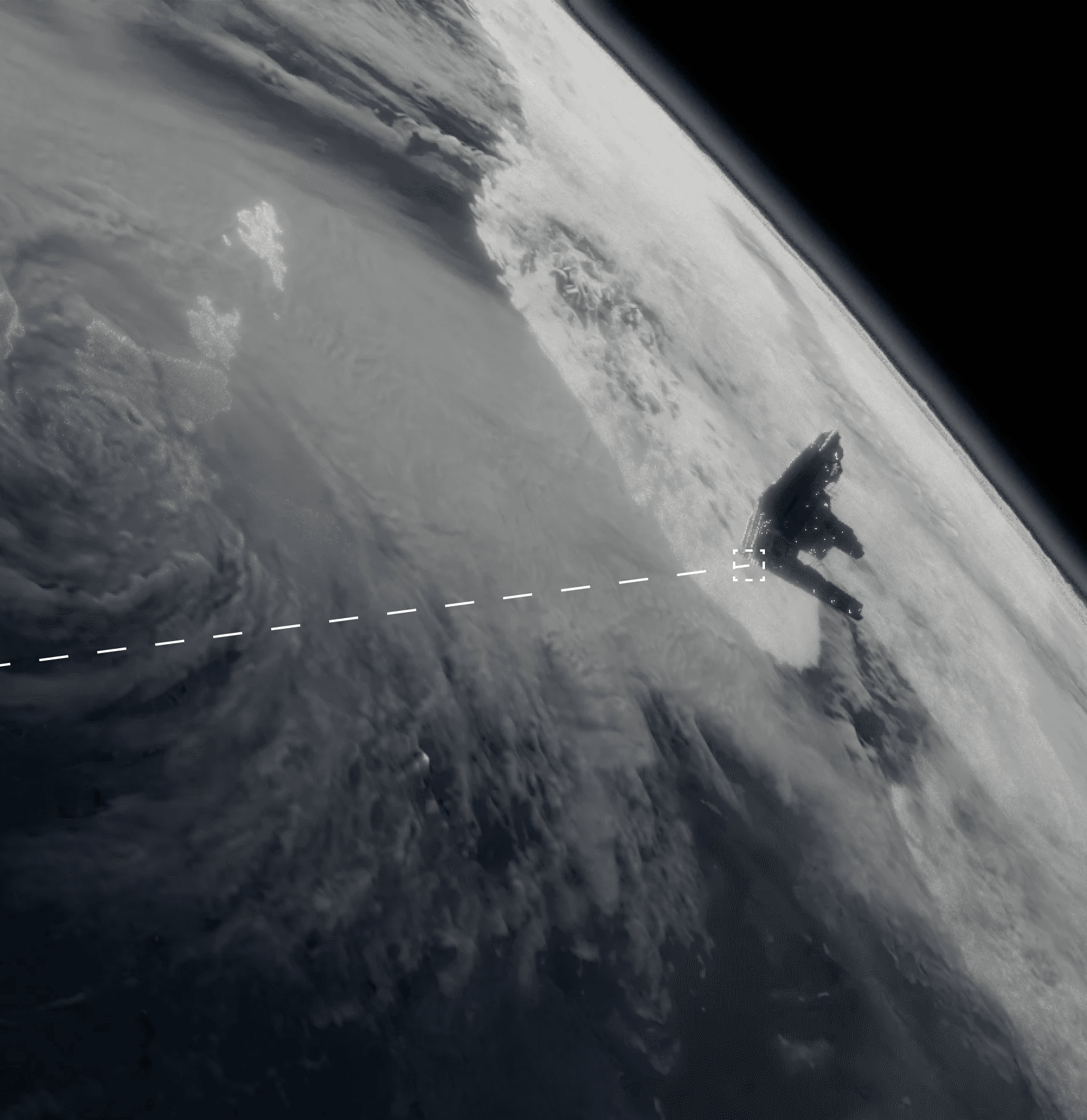
On-Demand Access
Task and retrieve satellite imagery in hours, not days through a simple, unified interface.
On-Demand Access
Task and retrieve satellite imagery in hours, not days through a simple, unified interface.
On-Demand Access
Task and retrieve satellite imagery in hours, not days through a simple, unified interface.

Insight-First Delivery
Receive AI-processed outputs: object counts, change maps, anomaly alerts, not just raw pixels.
Insight-First Delivery
Receive AI-processed outputs: object counts, change maps, anomaly alerts, not just raw pixels.
Insight-First Delivery
Receive AI-processed outputs: object counts, change maps, anomaly alerts, not just raw pixels.
End-to-End Platform
Search, task, process, analyze, and export, all in one operational workflow.
End-to-End Platform
Search, task, process, analyze, and export, all in one operational workflow.
End-to-End Platform
Search, task, process, analyze, and export, all in one operational workflow.
Global Coverage, Trusted Data
Built on the most advanced commercial constellations, including our own growing proprietary fleet.
Global Coverage, Trusted Data
Built on the most advanced commercial constellations, including our own growing proprietary fleet.
Global Coverage, Trusted Data
Built on the most advanced commercial constellations, including our own growing proprietary fleet.
Research & Innovation
Building Real-Time Infrastructure for a Planet in Motion
Building Real-Time Infrastructure for a Planet in Motion
Refract combines orbital tasking, multi-sensor access, and AI analytics into one cohesive system designed for speed, clarity, and operational reliability.
Continuous advancements in real-time satellite tasking
Continuous advancements in real-time satellite tasking
Continuous advancements in real-time satellite tasking
Integrated AI pipelines for object, change, and anomaly detection
Integrated AI pipelines for object, change, and anomaly detection
Integrated AI pipelines for object, change, and anomaly detection
Cross-functional teams bridging aerospace, defense, and machine learning
Cross-functional teams bridging aerospace, defense, and machine learning
Cross-functional teams bridging aerospace, defense, and machine learning
Strategic partnerships with satellite operators and data providers worldwide
Strategic partnerships with satellite operators and data providers worldwide
Strategic partnerships with satellite operators and data providers worldwide
Who we work with:


FAQs
Everything You Need to Know
Everything You Need to Know
What industries does Refract serve?
What industries does Refract serve?
What industries does Refract serve?
How fast can I get new imagery?
How fast can I get new imagery?
How fast can I get new imagery?
Do I need to understand geospatial data to use Refract?
Do I need to understand geospatial data to use Refract?
Do I need to understand geospatial data to use Refract?
What data types do you offer?
What data types do you offer?
What data types do you offer?
Do you support API access or integrations?
Do you support API access or integrations?
Do you support API access or integrations?
Get Eyes on What Matters.
Connect with our team to explore how satellite intelligence can give you faster visibility, deeper insight, and a real operational edge.
Get Eyes on What Matters.
Connect with our team to explore how satellite intelligence can give you faster visibility, deeper insight, and a real operational edge.
Get Eyes on What Matters.
Connect with our team to explore how satellite intelligence can give you faster visibility, deeper insight, and a real operational edge.